Brief storm chasing account and photography from weather photographer, Kelly DeLay. April, 17, 2019
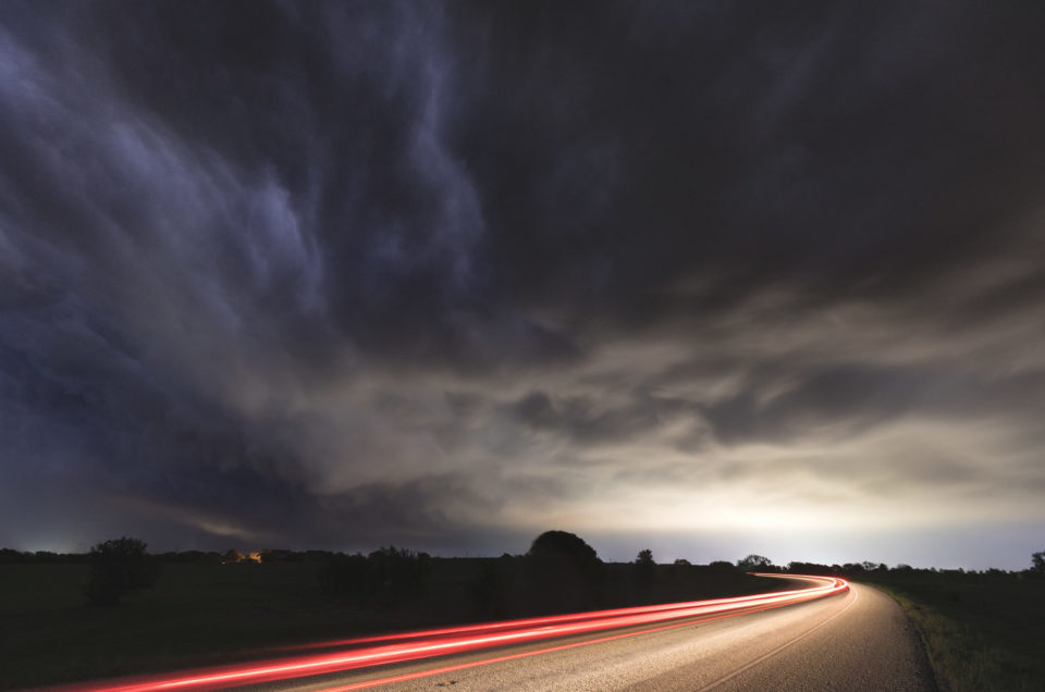
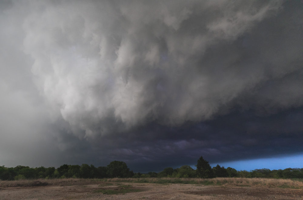
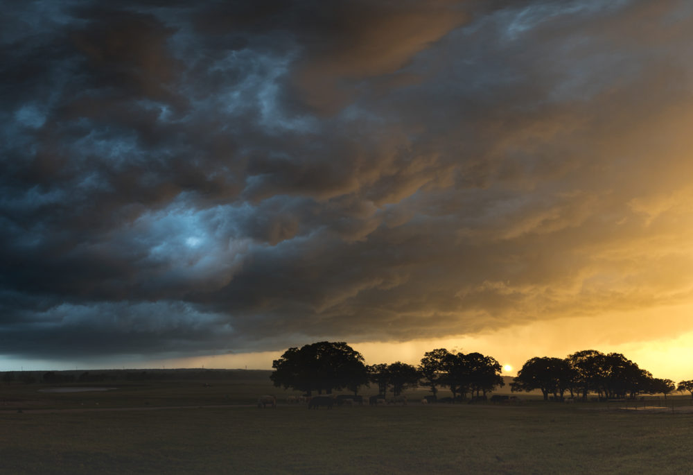
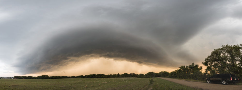
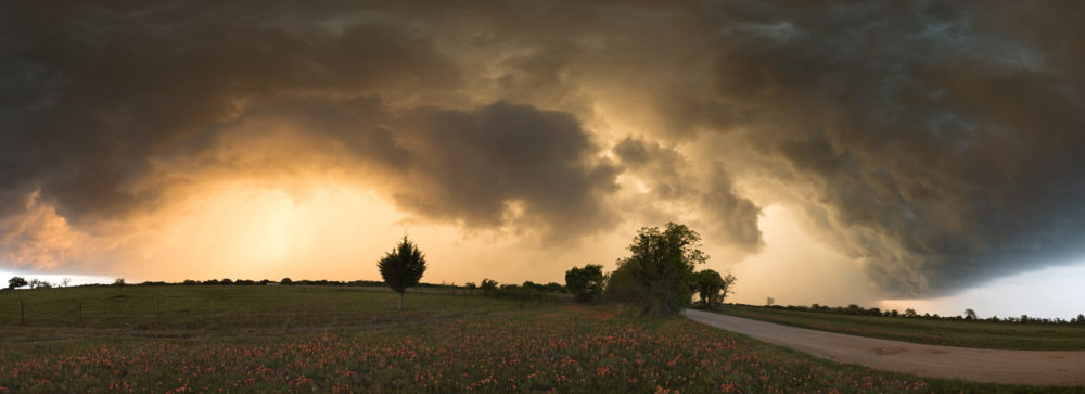
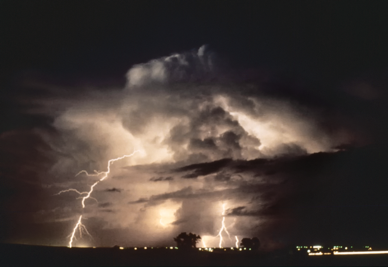
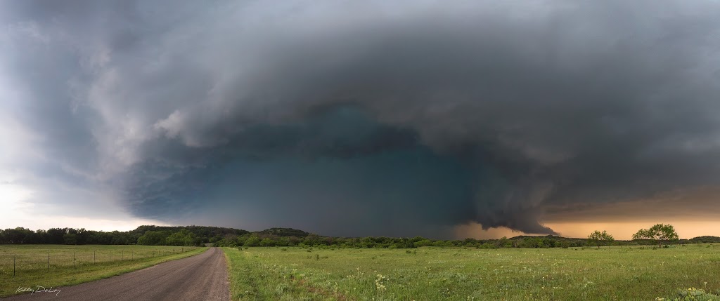
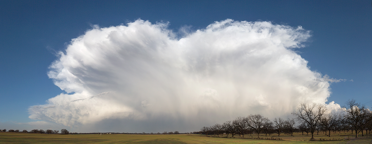
I recently had a back yard storm chase, starting in Frisco, TX with my target NW of Decatur, TX. The supercell I observed first, an hour before sunset, hard formed near Alvord, had some structure, tops at 42 thousand feet, but was quickly undercut from the cold air. According to reflectivity, the hail core was 2.75in; the size of a baseball, was just to my NE about a mile away. I set my camera and waited for the cell to come to me, did a few panoramic shots, see in the images below. The sun came out turned the sky a brilliant orange, light rain, and cold air hit. You could see the hail core; the inside was bright blue. I moved a mile or two down the road, find a spot and set up again and wait for the outflow to hit me again and again. I was soaked and cold after a few times of this but was having so much fun! I stopped on the way back to Frisco to get some lightning shots after dark. All of the lightning was embedded, did not see a single cloud strike all day which I found unusual. May have been my vantage points. Now that the rust is off. Can’t wait for the next chase!
Please leave me a comment below; I want to know what you think, how you are. I hope you enjoy the images.


