Photography
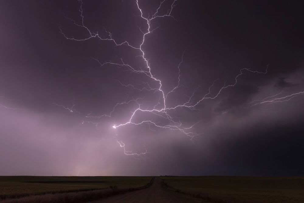
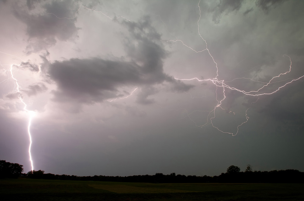
During the second year of my Clouds 365 Project (2011), I captured an image that I was proud of at the time. It was a long exposure of cloud to ground (CG) lightning hitting the ground and crawling back under the storm base. A combination of CG and spider lightning. I never liked the processing I did on the original, however. I thought it would be fun and redo it. Post processing tools and technology are far better than they were four years ago, even my Photoshop skills are far superior. Below are the before, published in 2011 and the and after image from today. Leave your comments below!
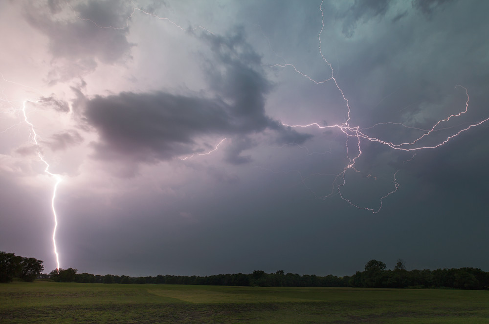
Tools used:
Adobe Lightroom CC 2015
Adobe Photoshop CC 2015
Google Nik Software
What a day I had in Simla, Colorado on June 4, 2015. It almost didn’t happen for me. Two days earlier, I had driven to Colorado to chase with friends off of the Cheyenne Ridge (Wyoming) and Palmer Ridge (Colorado). Our day in Wyoming did not pan out, so I decided to make my way back to Dallas the next day. On the morning of June 4th, I checked the forecast models to see which route back to Dallas from Denver would give me the best option to see severe storms. I-70 through Eastern Colorado and Kansas looked like the best option. Leaving around 2pm MT from Denver, I was in the mode of driving back home. Sitting at the light waiting to make my turn on to I-70 East, I noticed an updraft starting to form in the distance. For about an hour, I was driving parallel to the new storm. I pulled over a few miles south of Limon, Co to watch. After a couple of hours, I moved down the road for a better view. I started Instagram’s Hyperlapse app on my iPhone 6 Plus to capture the rotation of the developing supercell; below is what I posted while on site.
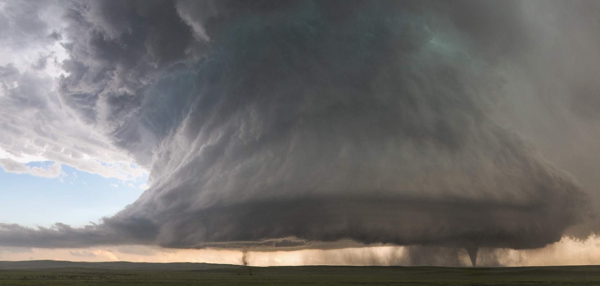
After I watched the storm for awhile, it looked like it was struggling. There was another storm forming behind the first storm, but I didn’t think I was in good position for the new storm. I needed to get ahead of it. I drove 5 miles back to I-70 E, then another 7 miles to HWY 287 South to get into position. To my surprise, I looked over at the horizon and was stunned to see a tornado on the ground! In the 15 minutes it took to drive to 287 the storm had strengthened into a supercell with a 50 thousand foot-top, and produced a tornado right where I was earlier! I was frustrated to say the least. I turned around to get back on the highway, and of course I get pulled over by the Colorado Highway Patrol for speeding, GAH! I could see the tornado ahead of me in the distance while I waited on the officer to come write me a ticket. He was nice though, he looked at all of my gear inside and said that I must be doing something important. I told him I am a weather photographer, he gave me a warning and let me go, very nice guy! I finally got back down to the point where I was previously. The tornado had already passed the road I was on, now I was behind it. That was ok, because of the direction the storm was moving I was going to have a good view, but I had to get closer; I would also have to endure some hail. Larger baseball-sized hail was closer to the core of the storm, about 5 miles away from me. I was getting hit by golfball-sized hail as I moved closer. I finally saw it, a large cone tornado! The stratus clouds and the rain were starting to clear, giving me an awesome view of the entire storm. I could not believe what I was looking at. I came to a CHP officer stopping people and telling them to turn around (panic set in again). I told him what I was doing there, and that I had experience with storms. He let me slide by and keep going! I pulled up another mile and found a great spot. I knew what I was looking at was just incredible; there are no words to describe it: an isolated supercell with two tornados under it! Thinking back on that moment, all I can remember is chaos. I was upset at myself for moving locations in the first place. I could not believe I got pulled over. It was hailing and raining hard, so I could not hear myself think. Getting my camera out and taking those few first shots gave me some relief, I was extremely happy. I captured the image I always wanted. I sat in the car for a few minutes looking through the images I took. I was looking at the focus, the exposure, etc… making sure I had what I needed before I left. Once I was satisfied, I drove up HWY 24 another mile or so and found a road that was heading back to the East, towards the storm. The cone tornado was still on the ground and it was right in from of me. I was virtually alone on this road because there was still a CHP road block not allowing cars by. knowing I was alone for a while, I turned the car sideways on the road so I could watch and photograph the tornado out the car without getting hailed on (again!). Here is a shot video of my view up the dirt road: Â
Here are a few more shots from this perspective. I was at this spot for about 30 minutes.
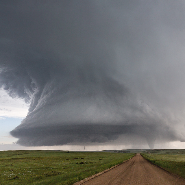
Looking down the road at the large supercell with large cone tornado on right and another tornado towards the middle of the base starting to rope out
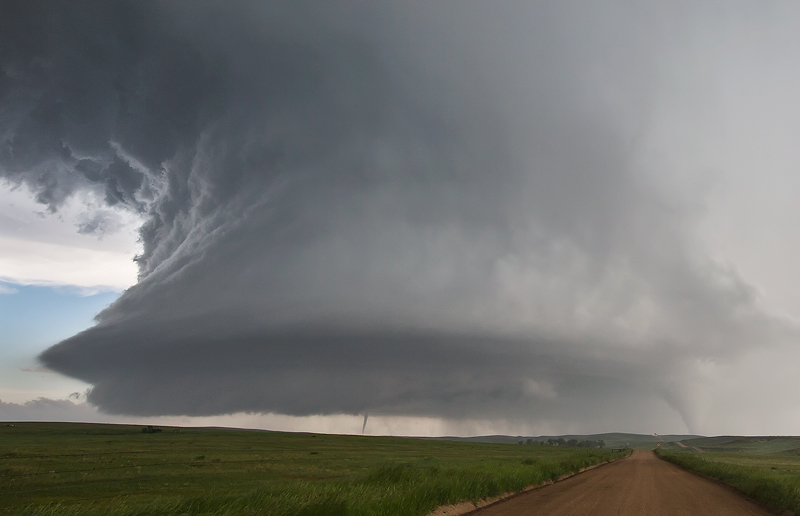
The supercell is still very strong at this point. The cone tornado is starting to get rain wrapped.
 As if sister tornados were not enough The tornados were starting to get rain wrapped and move away from me, so I continued down this road for several miles. Once I got to the top of the hill, the sun came out and the rainbows started to show themselves. I have seen the “end” of a rainbow once before during a chase, but never one with the perception of being so close. The bright rainbow looked like it was on the hood of my car! Strange and wonderful experience. Then I noticed the tornado again in the distance! I had to drive another half a mile before I could find a place to stop and get out. I ran towards a clearing so I could get a clear view of the tornado and the double rainbows. Looking through my camera and seeing this was pure joy. I could not believe I had witnessed this AND photographed this amazing scene. What a day!
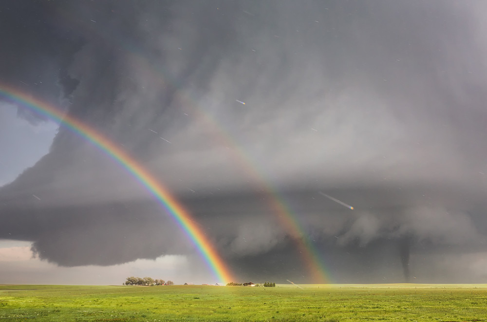
Double Rainbow with Tornado /captured outside of Simla, Colorado, June 4, 2015 – 7:30pm
 Going Viral Going “viral” is a surreal experience. It had happened to me before with the last image of my Clouds 365 Project, “Storm Chasing Family Portrait” so I had some experience about how to handle it, at least I thought I did. I posted the image first to my personal account on Facebook on Saturday afternoon (6-06-14) and the response was fantastic.
I posted to twitter the following day on Sunday, June 7th ;
Image of a lifetime. Two tornadoes under a massive supercell in Simla, CO! #stormchasing #cowx pic.twitter.com/APRrItV0fK — Kelly DeLay (@kellydelay) June 7, 2015
Within 10 minutes of posting image directly to Twitter, I was getting non stop retweets for the next 24 hrs.
When I got up the next morning, my inbox had several HUNDRED messages. Most all of them were request to use the image. After a couple of hours answering email, I posted the image to my account on 500px, Flickr and Instagram. A quick shout out to DL and the amazing people at 500px. They went out of their way to let me know the best time and date to post my image so I could get the best coverage. My image was tops on “Popular” for the day, chosen for Editors Choice, DL even did a blog post on ISO.500px.com. I can’t thank 500px enough!
For the next 48 hours, I didn’t get up from my office chair much. I did so many interviews! I was getting messages from friends and family from all over giving me updates where the image was seen. The image was shown on every major network in the US (ABC News, CBS Evening News, Today Show, Fox News), the UK, Canada, Japan, France, Norway, Germany. I did radio interviews for BBC, PBS and the Canadian Broadcast Company. The tweets below are my favorites, but here are a few more places you can see the image and the story that was written: The Washington Post, People.com, Huffington Post, The Weather Channel, Yahoo! / GrindTV, PetaPixel and USA Today
_____
How a Storm Chaser Captured a Terrifying Double Tornado http://t.co/4ZVTBe7JYA @jakobschiller Photo: @kellydelay pic.twitter.com/H4XjwnoXSk — WIRED Photo (@WIREDPhoto) June 9, 2015
Photographer @KellyDeLay on how he shot his “once-in-a-lifetime” photo of a double tornado: http://t.co/Ix3gnGidqN https://t.co/JWT5W4AAZv — Los Angeles Times (@latimes) June 10, 2015
Colorado thunderstorm appears to spawn two tornadoes at the same time. http://t.co/p7weA40uDn pic.twitter.com/iear5dUSAK — Mashable (@mashable) June 7, 2015
Once-in-a-lifetime photograph shows twin tornadoes over Colorado–PHOTOS: http://t.co/U0LZnYeJaD pic.twitter.com/ApDMW8OOAl — Slate (@Slate) June 9, 2015
All I can say is THANK YOU for all of your love and support. I spend a lot of time on the road, away from my family chasing my passion. Days like this make it worth it. Leave me comments below, would love to know your thoughts!
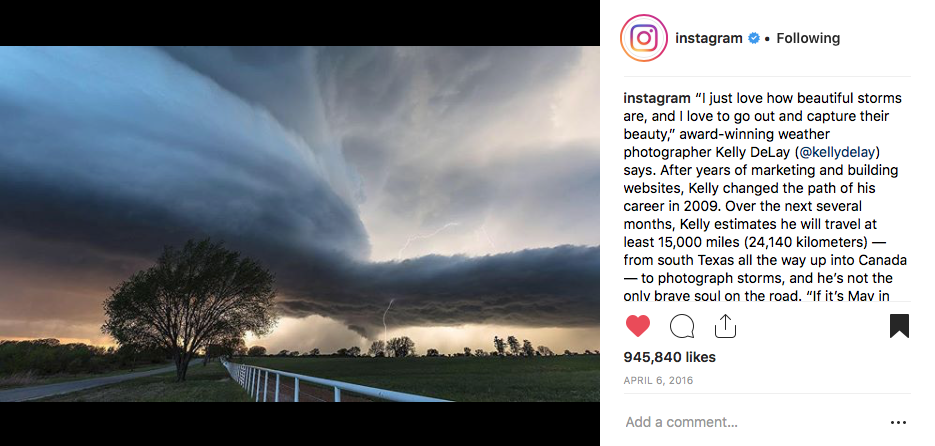
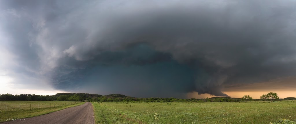
Intercepted this beautiful tornado warned supercell just outside of Morgans Mill, Texas last weekend. This storm put down a tornado minutes before we arrived to this point. I was waiting on it to show itself, but it never did. Had to get out fast before the core arrived. I was hearing reports of baseball sized hail, represented by the teal color in the middle of the storm. Very cool tail cloud forming on the horizon. Amazing storm!

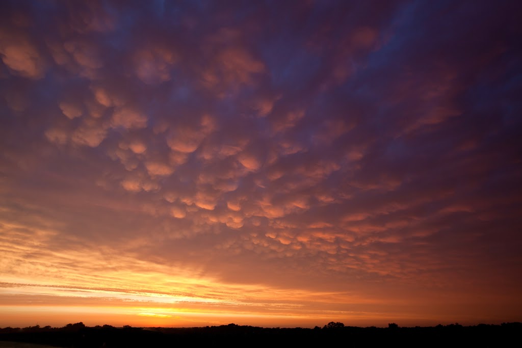
Mammatus clouds on the backside of a dissipating supercell lit up beautifully at sunset a few years back. Look at this and long for storm season to begin again on the Plains!
Shot this panorama from Glacier Point in Yosemite National Park. This is one amazing place. We were lucky to get some low clouds when I was there. Perfect time to try my new +Really Right Stuff multi-row panoramic components. Made stiching this image together a breeze! Comments appreciated. Large Version here: https://flic.kr/p/pP6FiT
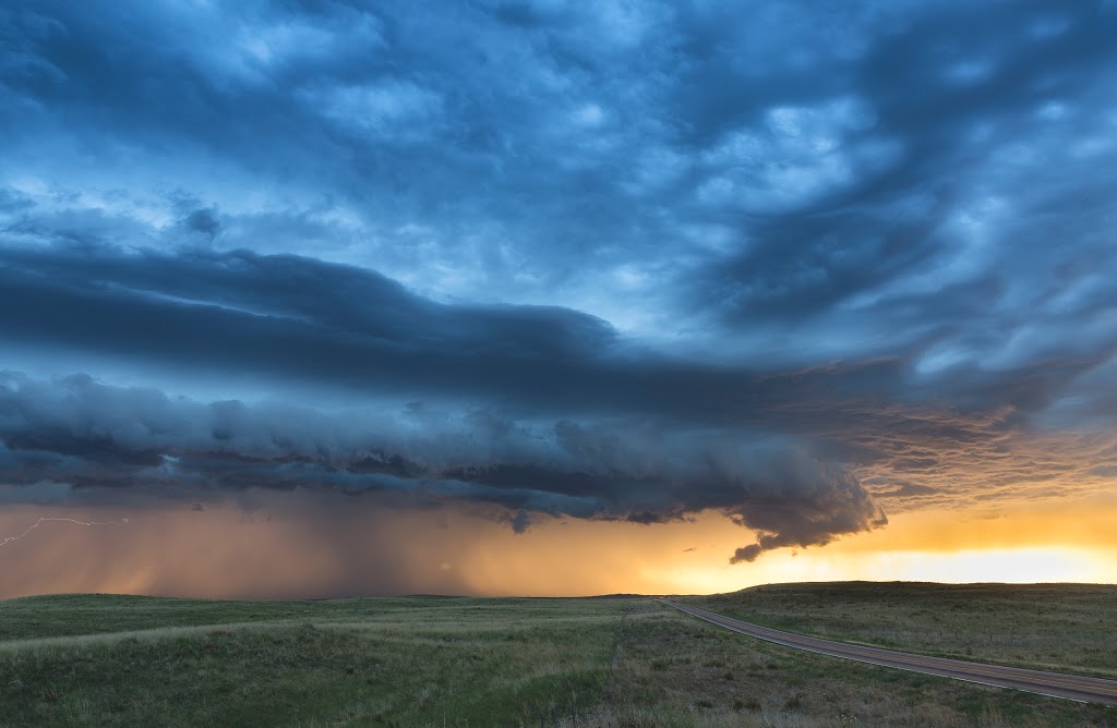
Amazing view of a supercell that started to line out and merge with another storm at sunset, it had a impressive shelf cloud. This was one of the best storms we chased earlier this year. Captured outside of Ogallala, Nebraska
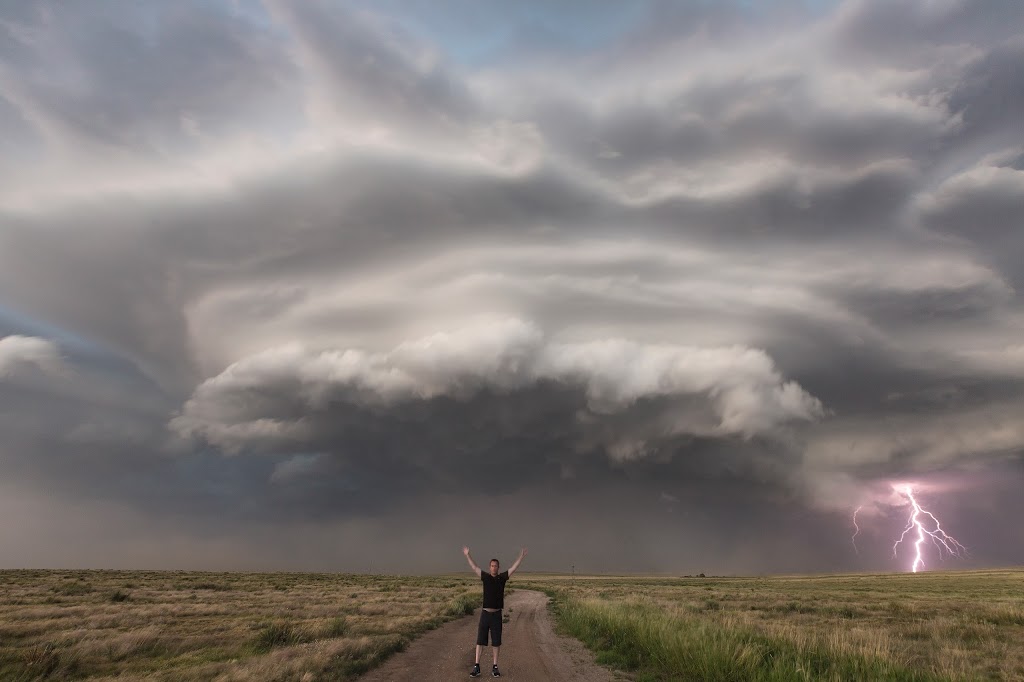
Many of you may have seen “Family Portrait ” – the last image of my Clouds 365 Project that received a lot of attention – http://www.clouds365.com/6-30-14. I stayed out and did a few self portraits, wanted to share with you. Shot taken in Guymon, Oklahoma on 6-30-14. This supercell was amazing!


